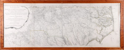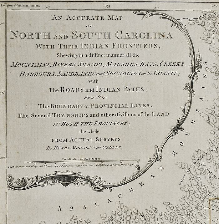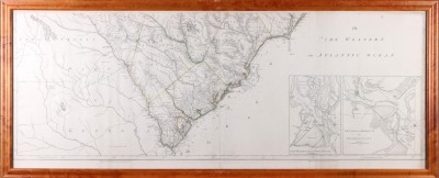
AN ACCURATE MAP OF NORTH AND SOUTH CAROLINA WITH THEIR INDIAN FRONTIERS…By HENRY MOUZON and OTHERS
Henry Mouzon cartographer.
Engraved by Samuel Turner Sparrow
Published Separately and in Thomas Jeffery’s American Atlas
Robert Sayer and John Bennett
London, 1776
State Two with the addition of a reference to Fort Sullivan
Commentary: William Cumming described this map as the Revolutionary War map of the region and the “chief type map for the region during the forty or fifty years following its publication.” Copies were carried by Washington and Rochambeau for field use and it’s great detail and most current regional geography dictated its use by both sides throughout the conflict. The area of the map extends from the coastal areas of the two Carolinas well westward to the Appalachian Mountains in the Cherokee country and provided important new information concerning settlements there. It would appear in a smaller French edition in 1778 and was reissued in London in 1794 by Laurie & Whittle using the original plates.
Biographical information relating to Henry Mouzon (of which there were two cousins residing in the Carolinas) is very limited. Margaret Pritchard concludes that the most likely candidate was Henry Mouzon of Craven County who died in 1777 and whose estate included surveying instruments. Unquestionably, Mouzon drew on his experience in surveying the civil districts of South Carolina for Governor Montague in 1771 and other commissions in laying out the map. He also relied heavily upon John Abraham Collet’s 1770 map of North Carolina, James Cook’s 1773 map of South Carolina and William De Brahm’s map of South Carolina and Georgia produced in 1757. By combining and expanding these sources, Mouzon produced a map of great excellence and historical importance that remained the standard well into the 19th century.
Condition: A fine impression, the map is in overall excellent condition with attractive outline color. It is framed to museum standards.


