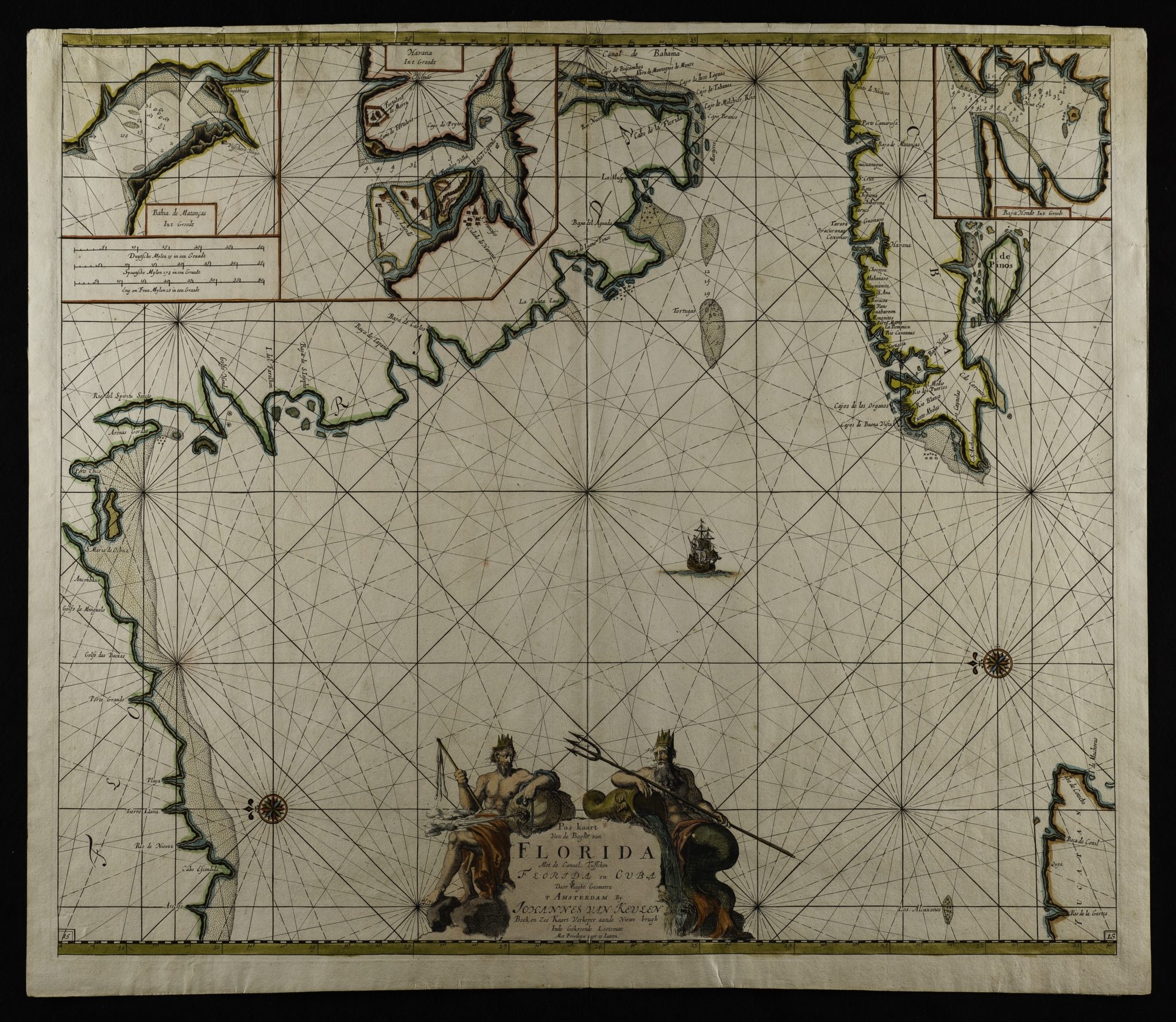
Johannes van Keulen (1654-1715)
Amsterdam
C. 1683
The orientation with north to the left, east upwards and Cuba to the upper right is a bit confusing a first glance.
The inset maps are of Matanzas Bay, Havana Harbor and Hondo Bay.
An important early map of the region with particular relevance to Cuba.
24 1/2″ x 21″
Excellent condition with early very probably original hand coloring and a striking cartouche.


