Recent Additions
 Portrait of Judge Abraham Shriver – J.B Bordley IIIPaintings
 Side ChairFurniture
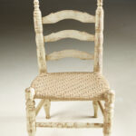 Louisiana “Cajun” Child’s ChairFurniture
Portrait of Judge Abraham Shriver – J.B Bordley IIISide ChairLouisiana “Cajun” Child’s Chair105 North Washington Street · Suite 202 · Alexandria VA 22314
Telephone: (703) 622-9978 ·
Hours by chance or by appointment