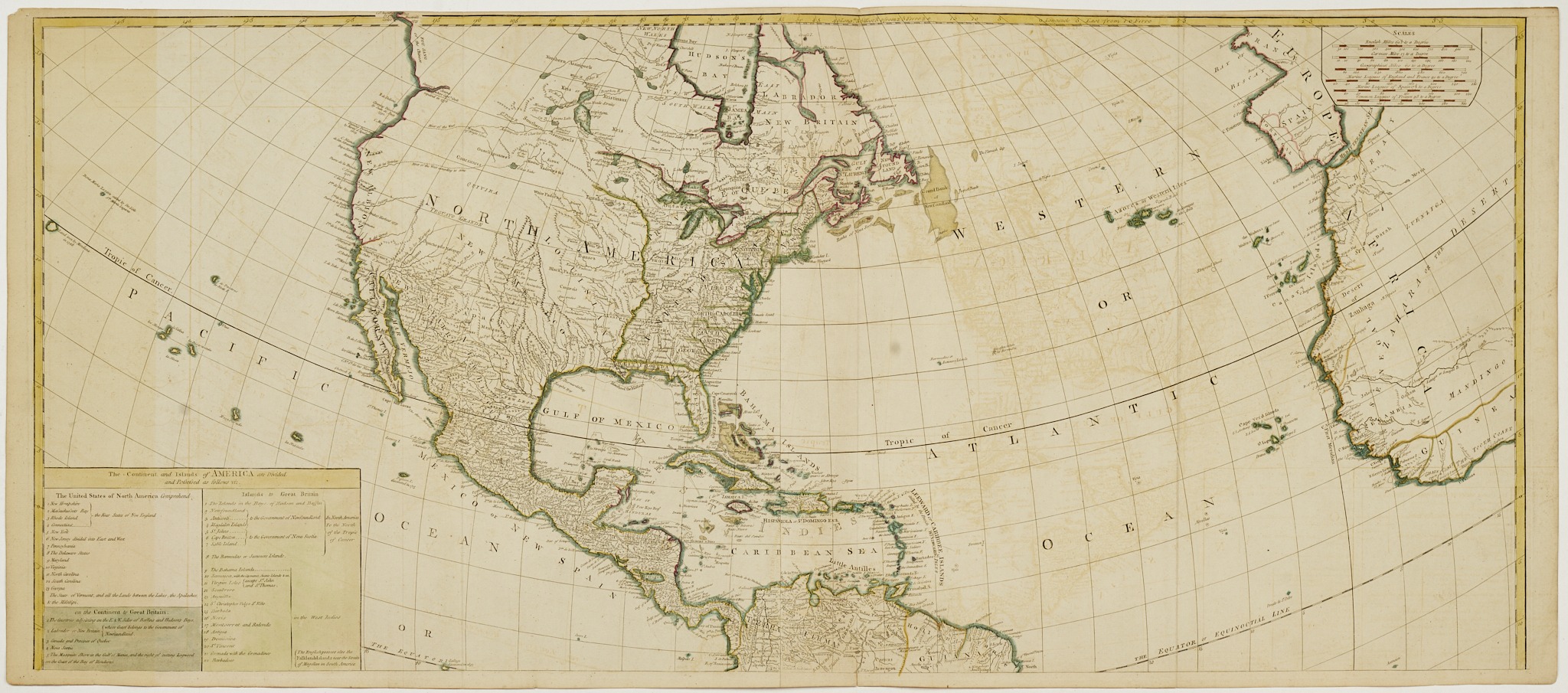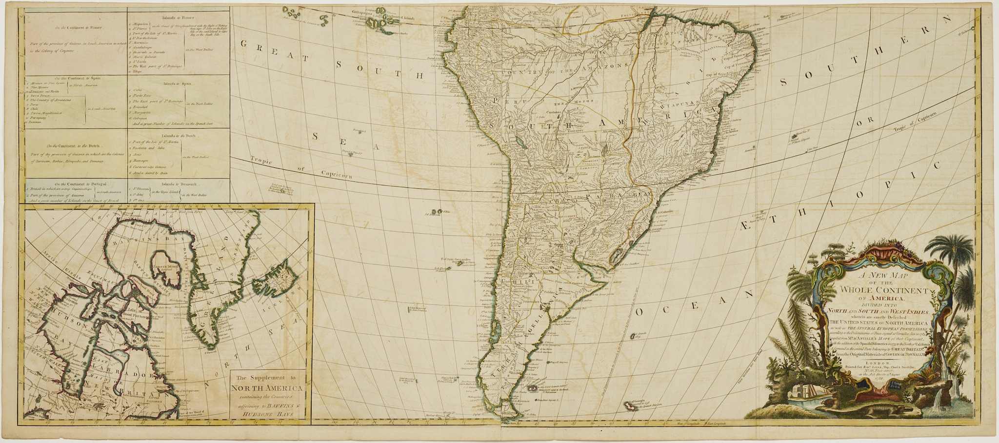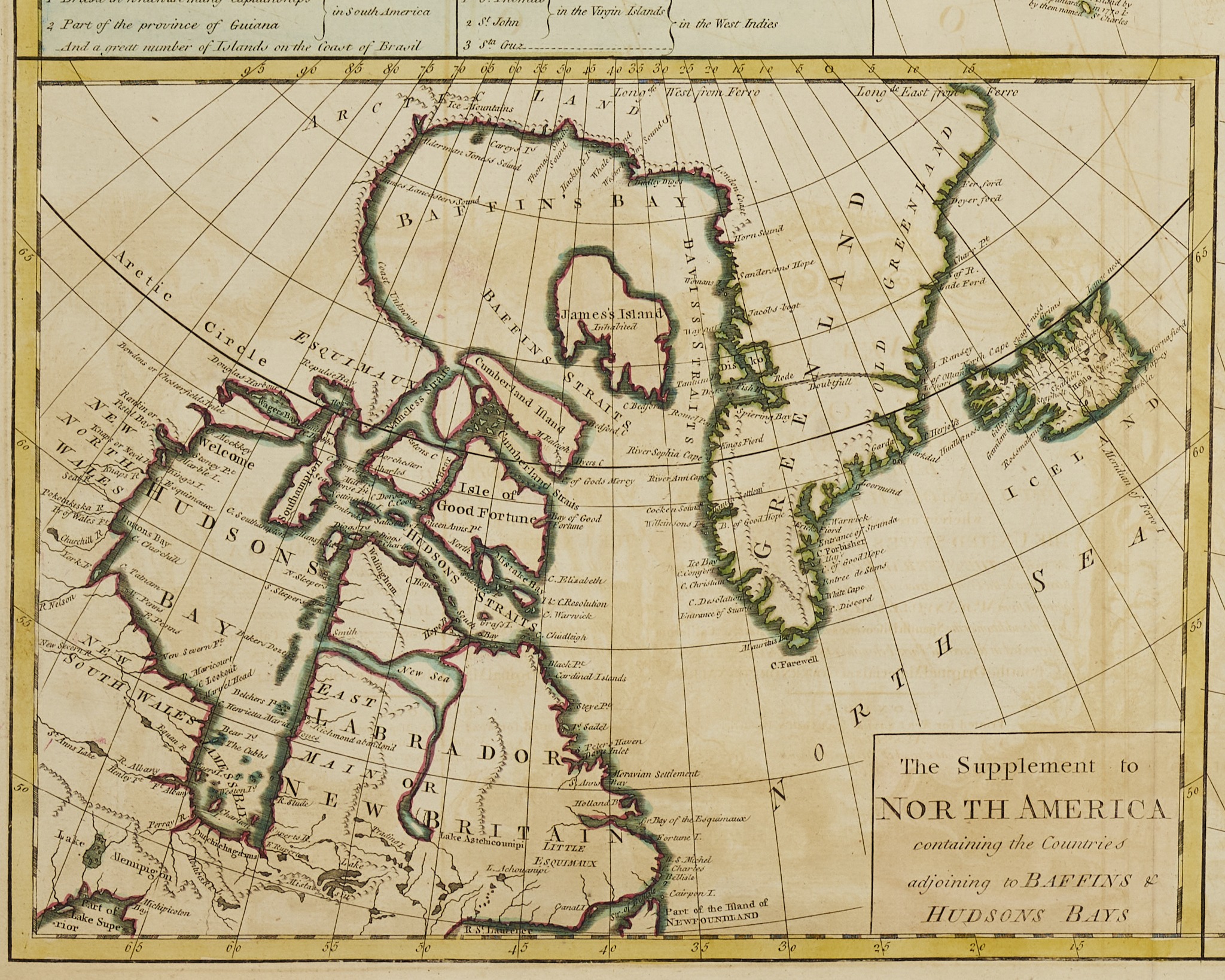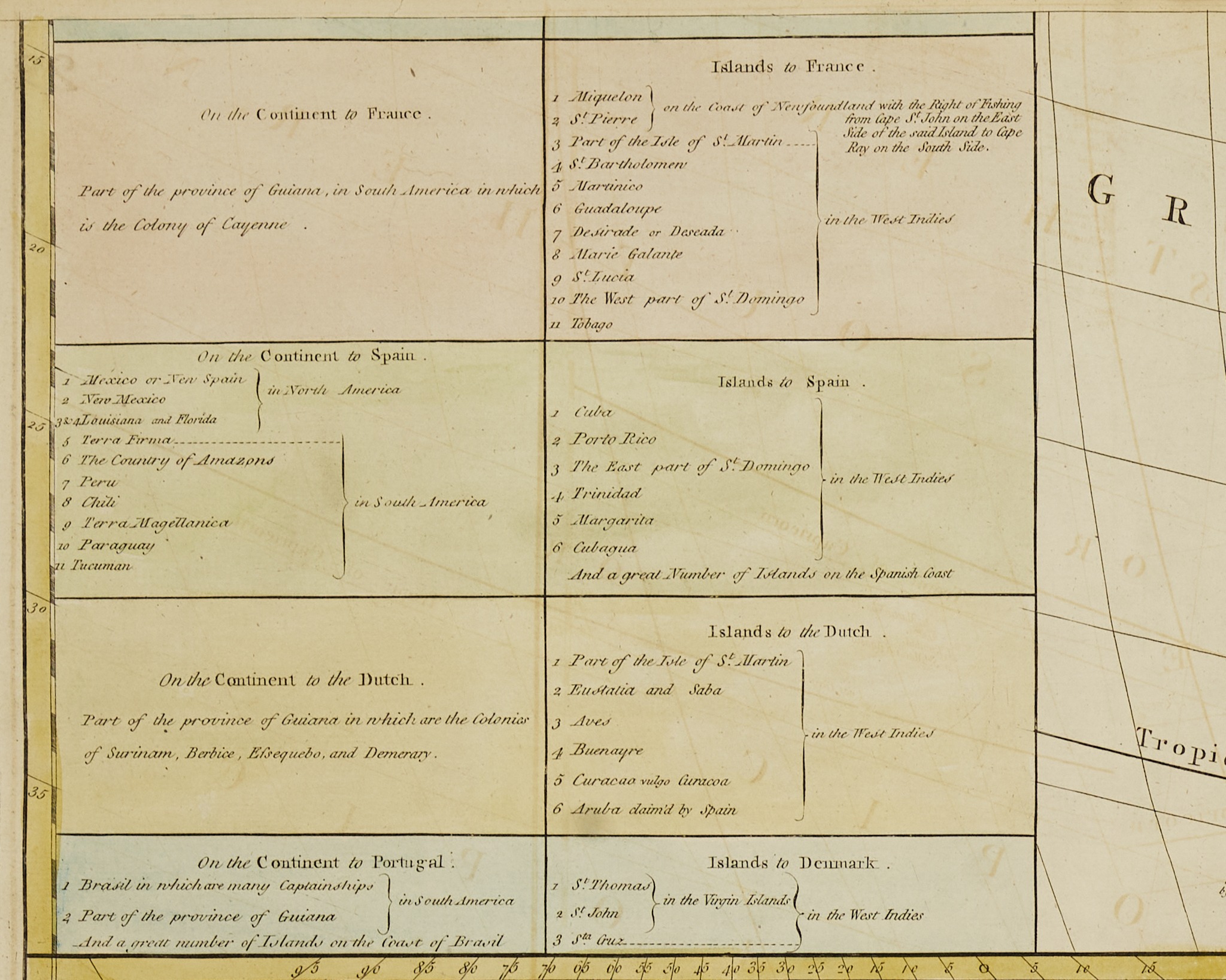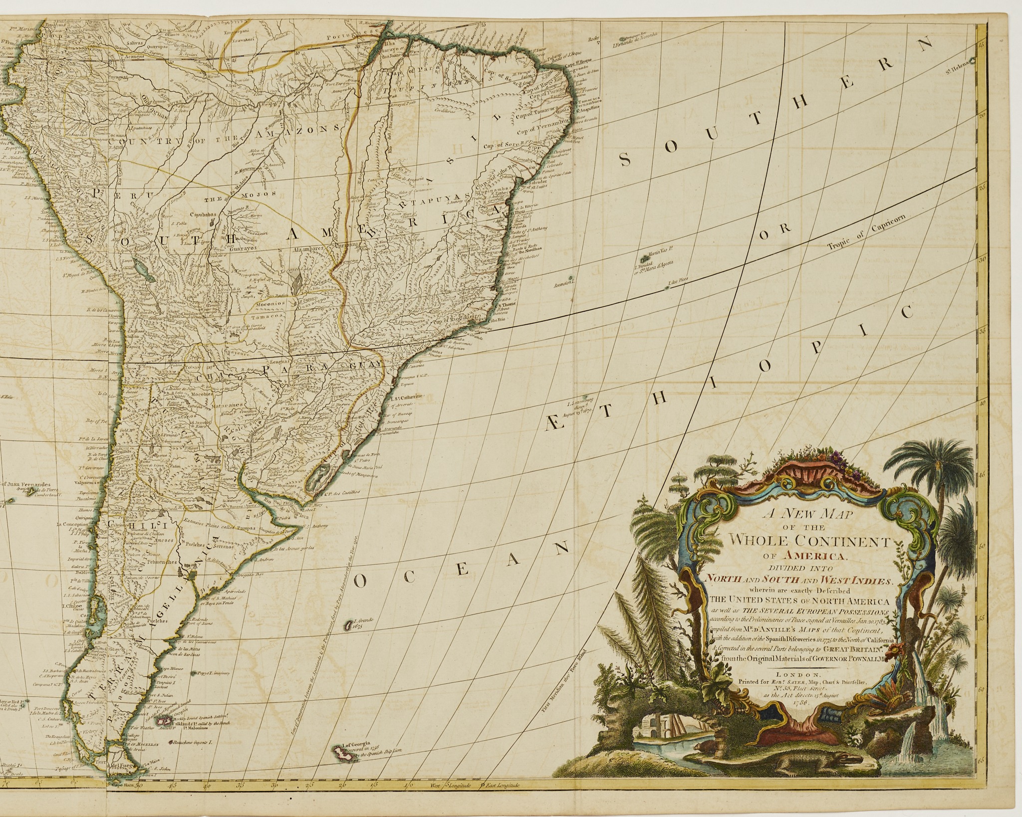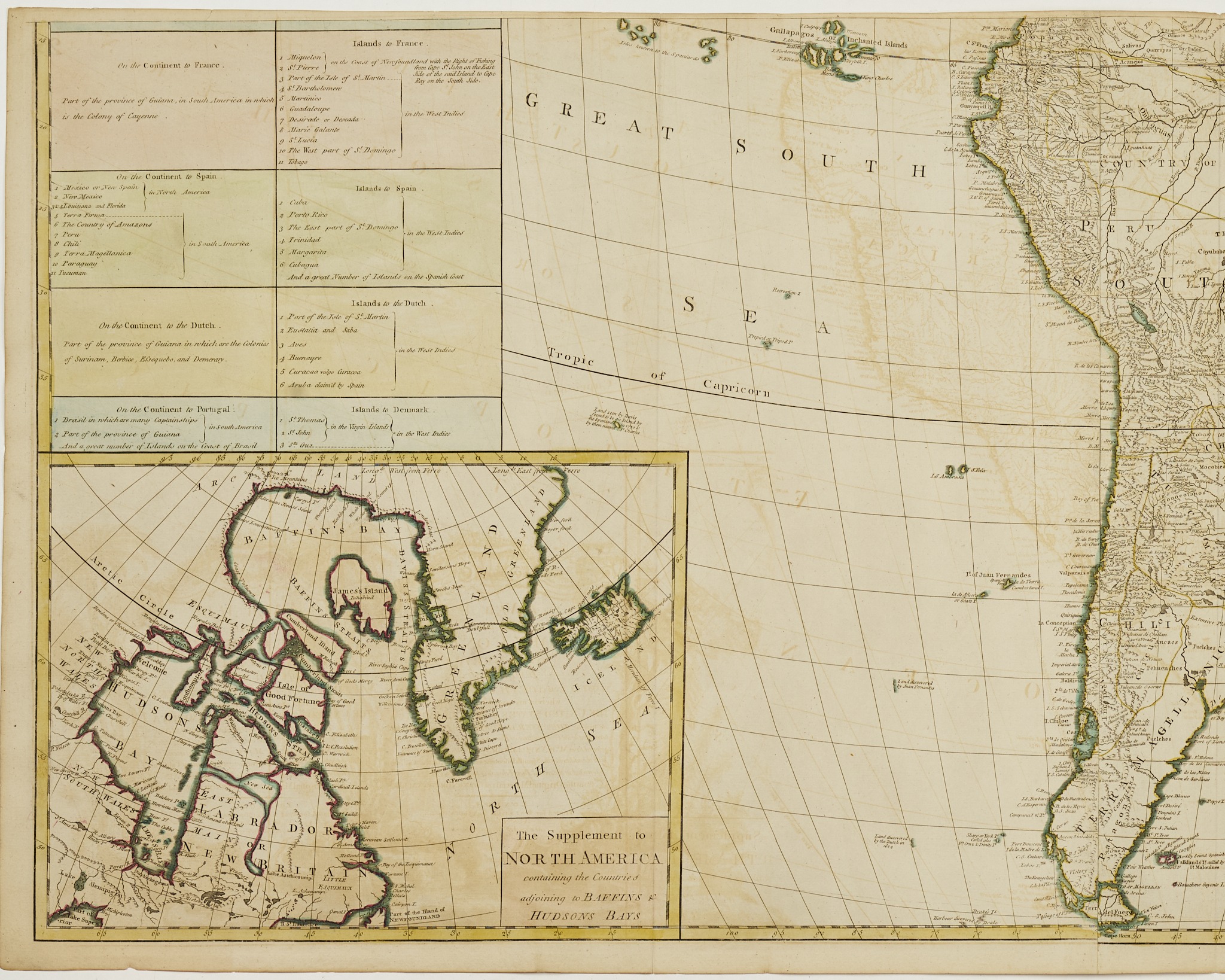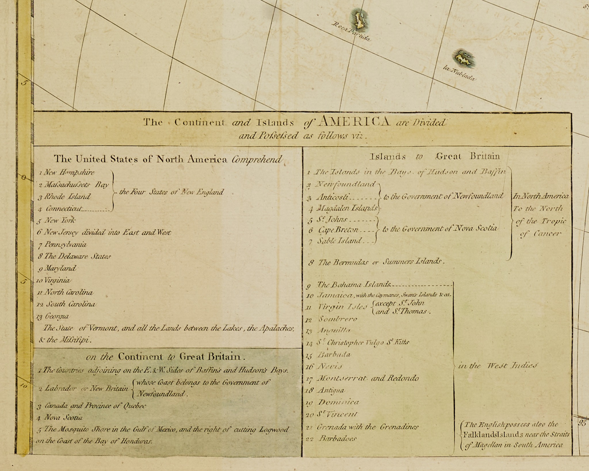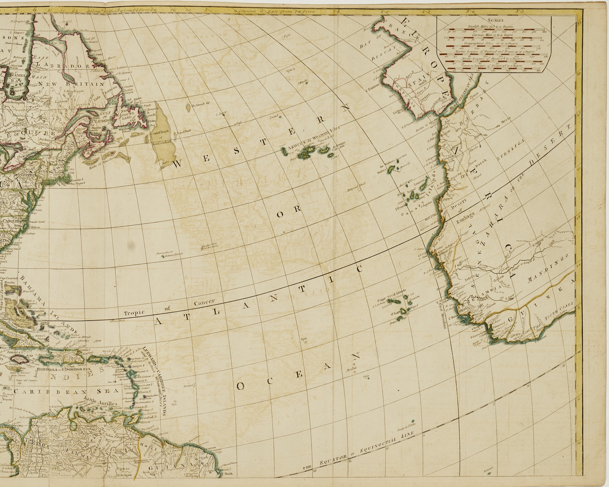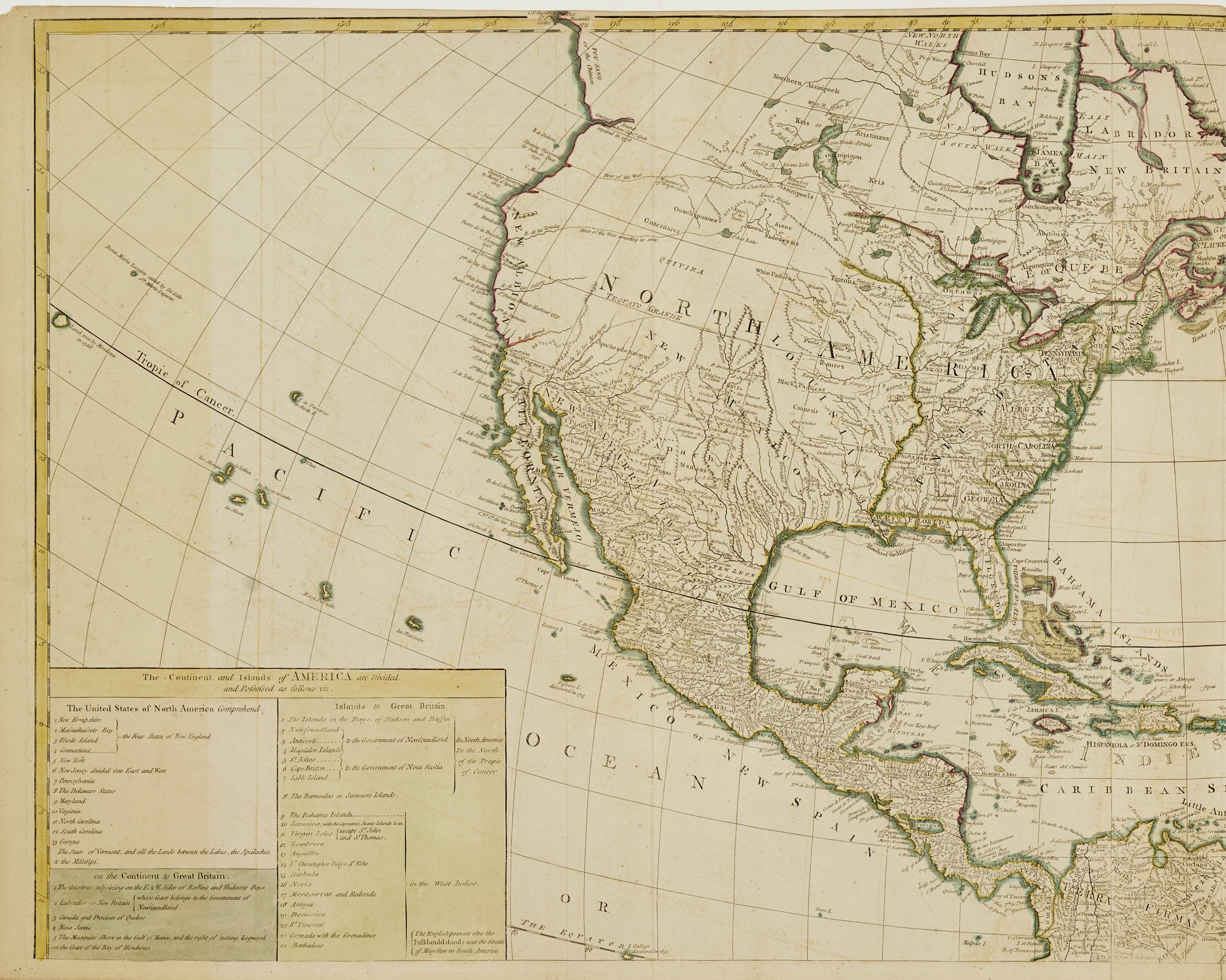
A New Map of the Whole Continent of America. Divided Into North and South and West Indies, wherein are exactly Described The United States of North America as well as The Several European Possessions according to the Preliminaries of Peace signed at Versailles Jan 20, 1783 . .
Engraved Map
Heavy Laid Paper
Robert Sayer Publisher
London
1786
In four hand-colored sheets, joined horizontally to form maps of the northern and southern hemispheres;
Each 21” x 49” or 42” x 49” overall
This impressive wall map is one of the first English maps to show the newly established United States as agreed to in the Treaty signed by American and British diplomats in January 1783. In addition to the many updates to earlier editions based on the Pownall and D’Anville maps, this edition includes important information on South America and the Spanish colonial empire at the end of the 18th century.