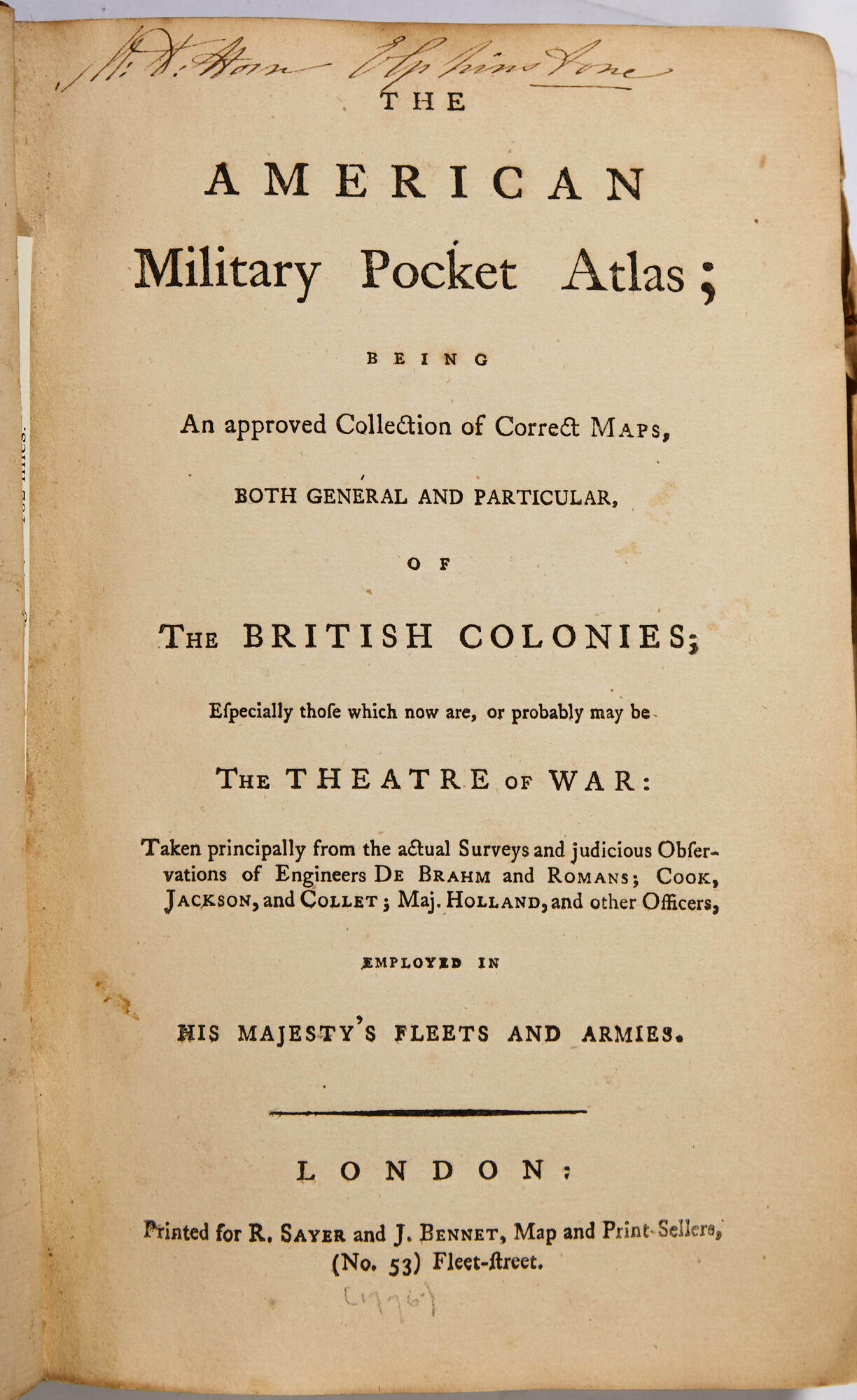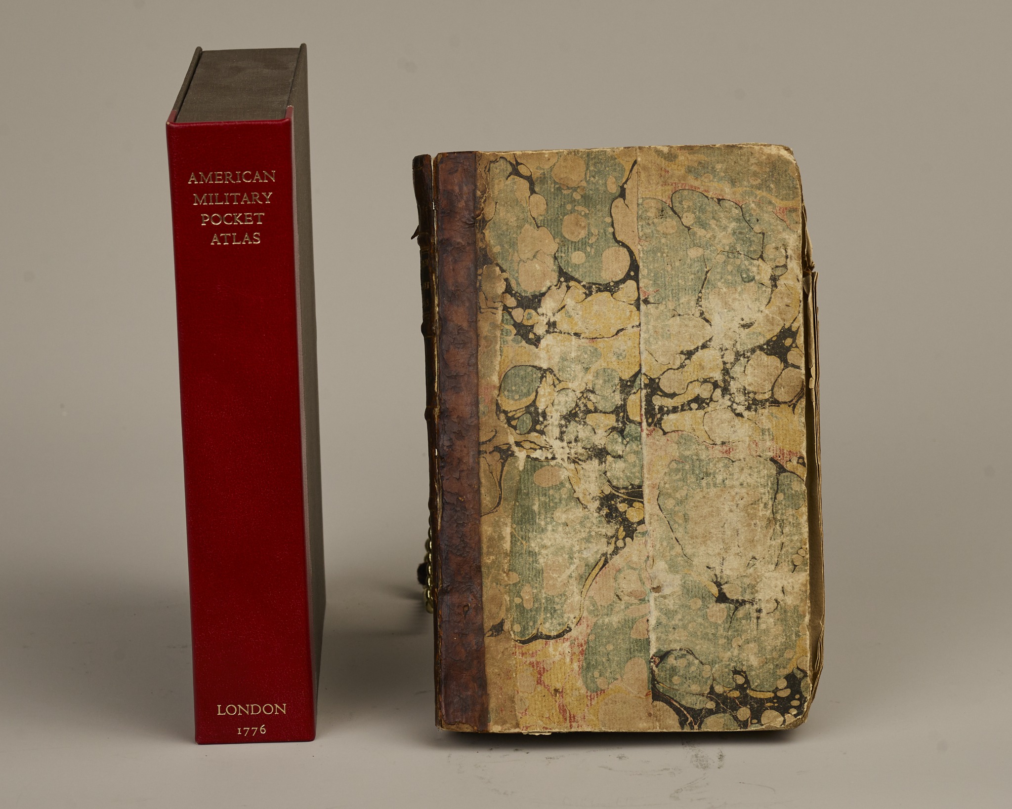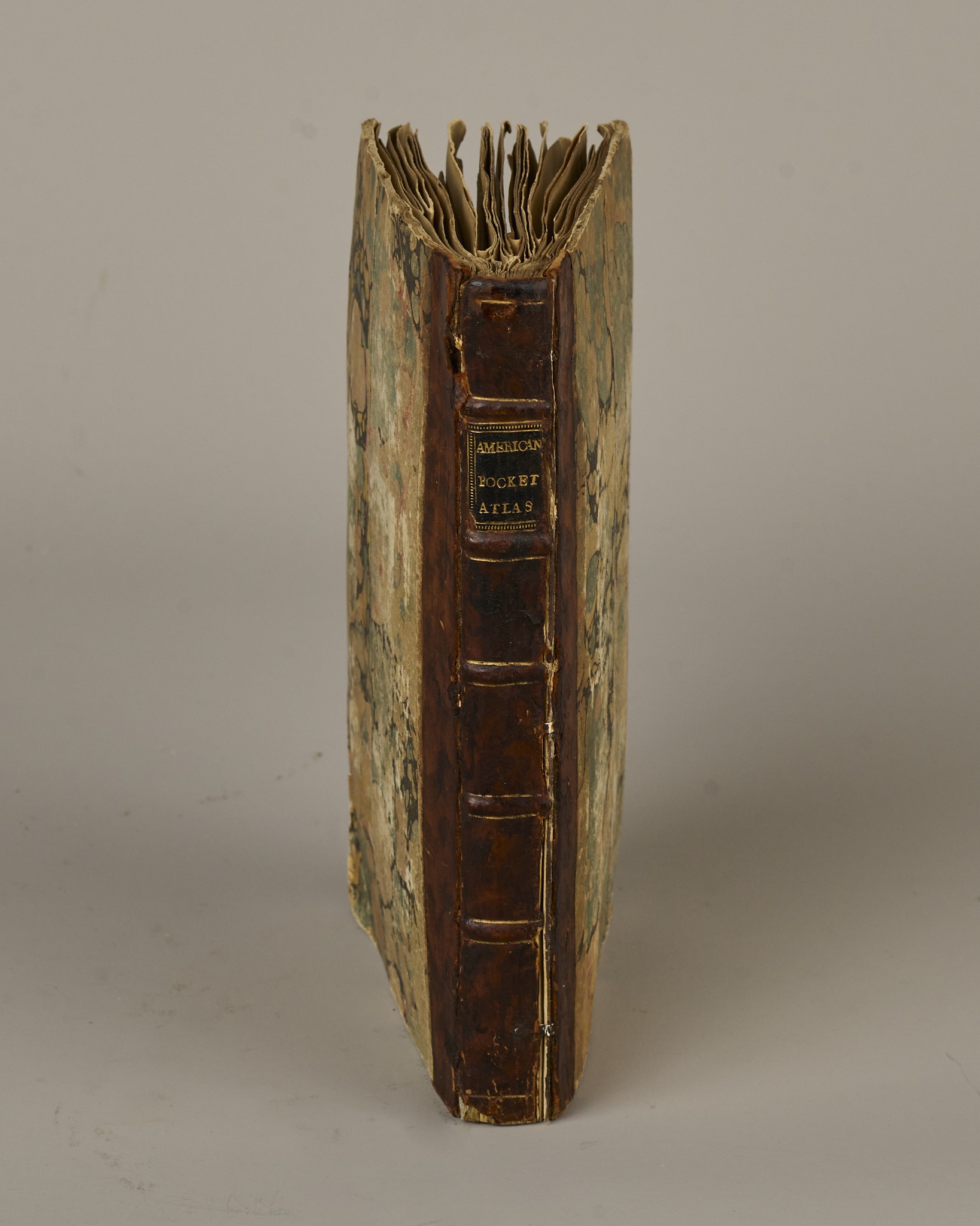
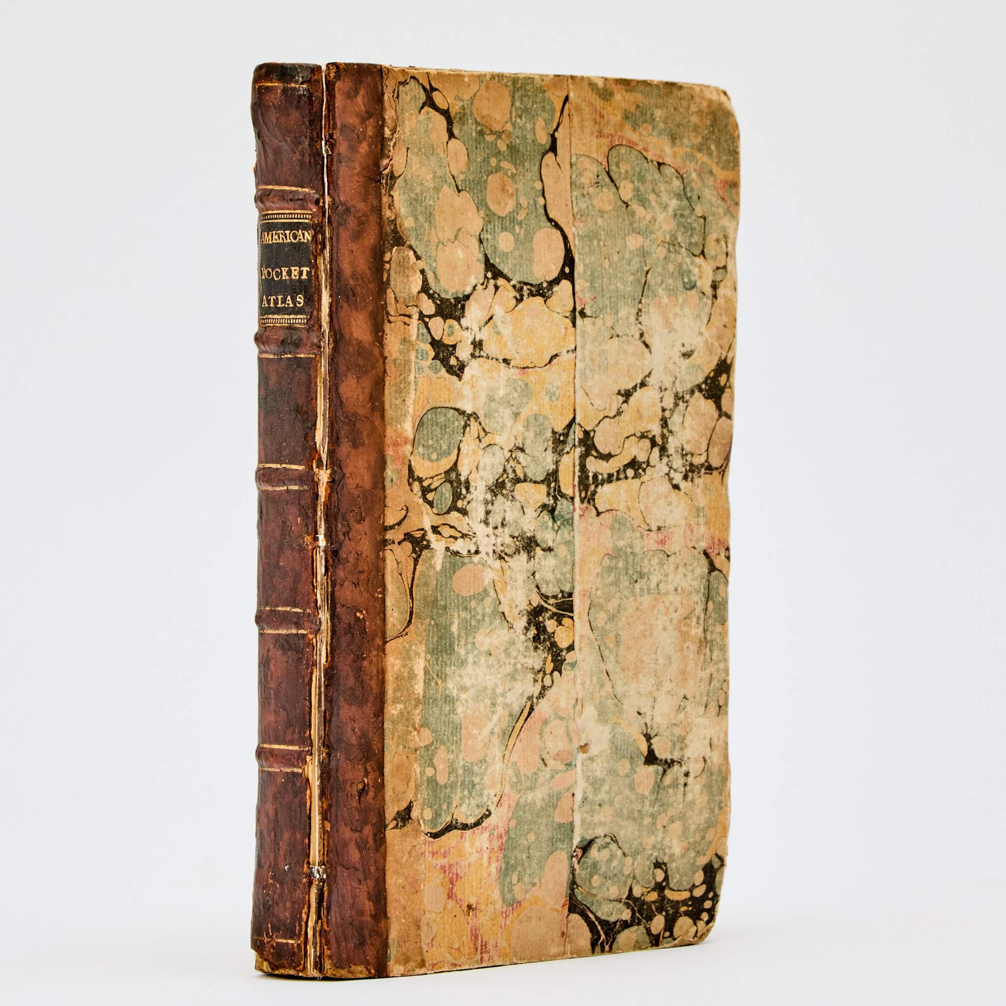
THE AMERICAN MILITARY POCKET ATLAS; BEING AN APPROVED COLLECTION OF CORRECT MAPS, BOTH GENERAL AND PARTICULAR, OF THE BRITISH COLONIES; ESPECIALLY THOSE WHICH NOW ARE; OR PROBABLY MAY BE THE THEATRE OF WAR: TAKEN PRINCIPALLY FROM THE ACTUAL SURVEYS AND JUSDICIOUS OBSERVATIONS OF ENGINEERS…AND OTHER OFFICERS EMPLOYED BY HIS MAJESTY’S FLEETS AND ARMIES.
Robert Sayer and John Bennet, Publishers
London
Printed for R. Sayer and J. Bennet
1776
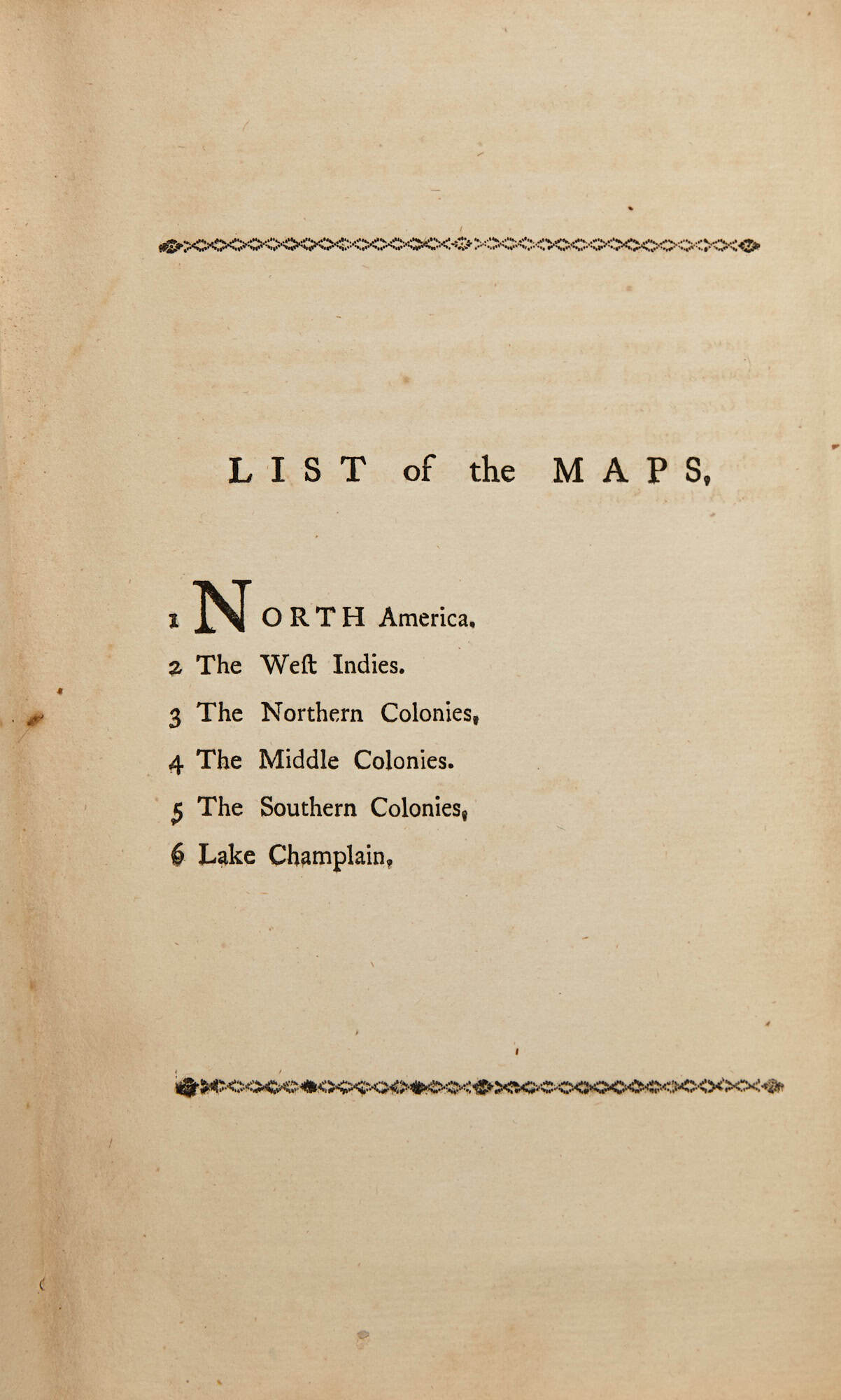
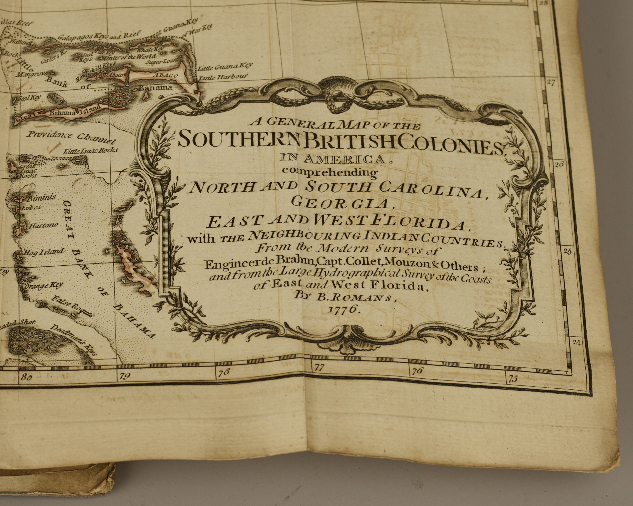
First Edition. Bound volume with marbled boards over calf with a black Morocco spine label with gilt lettering, title page and dedication as well as six maps as issued:
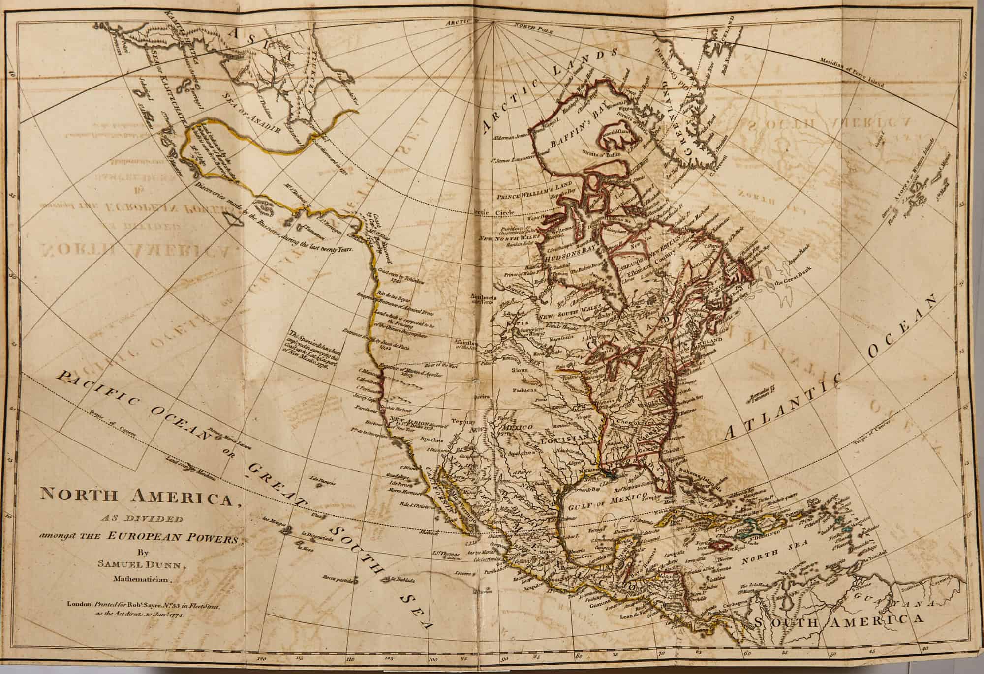
North America; Samuel Dunn; 1774. Hand colored outline
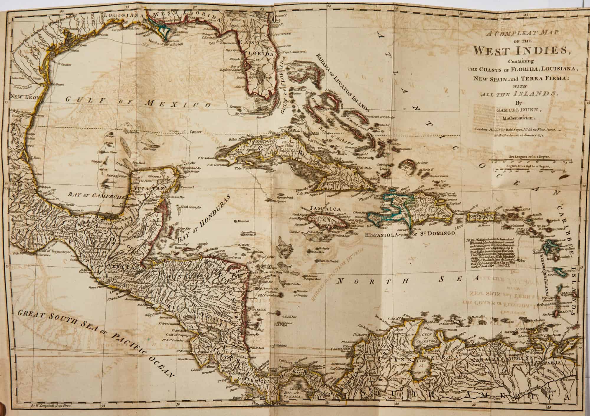
West Indies, Florida, Louisiana; Samuel Dunn; 1774. Hand colored outline.
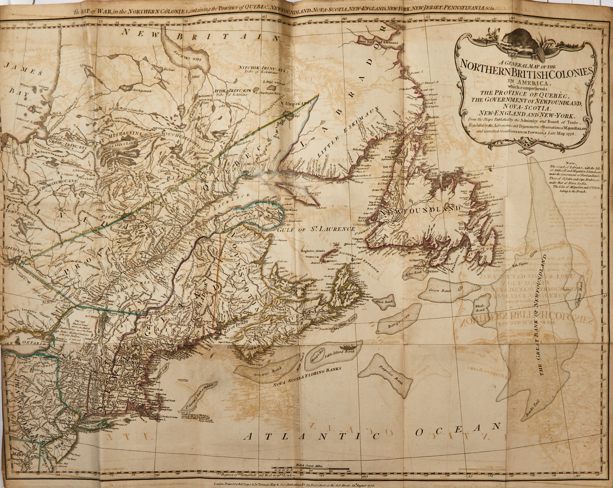
Northern British Colonies, Corrected from Pownall map; 1776. Hand colored outline.
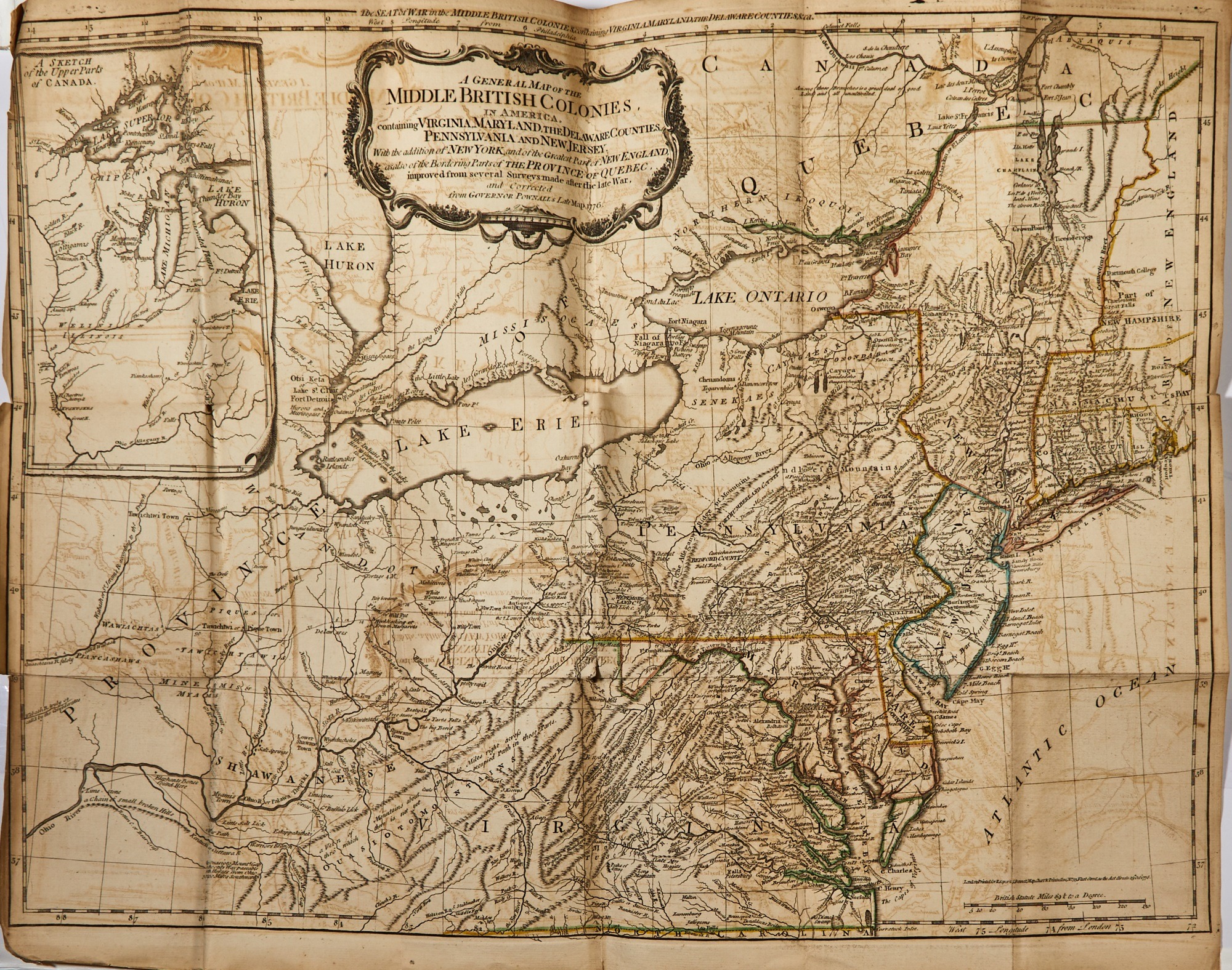
Middle British Colonies; Corrected from Pownall map; 1776. Hand colored outline.
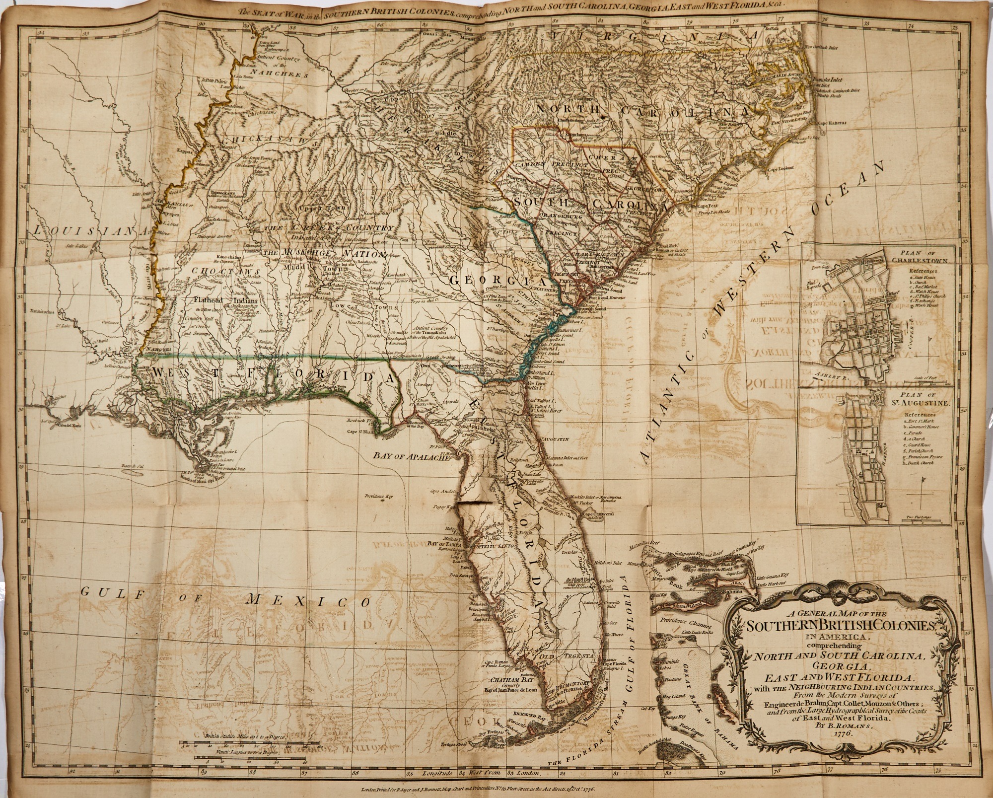
Southern British Colonies: Bernard Romans; 1776. Hand colored outline.
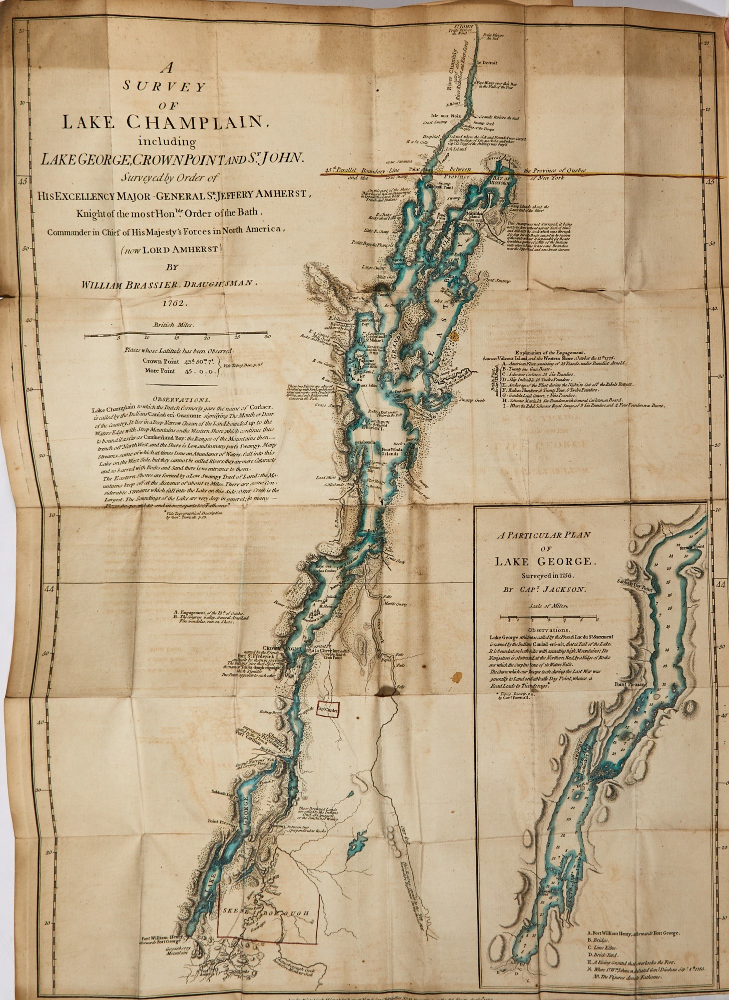
Lake Champlain including Lake George; William Furness Brassier;1776. Hand colored outline.
The pocket, or Holster Atlas, was one of the most important collection of maps used during the American Revolution. It was designed for use in the field by British officers and included some of the most current, up to date, maps available of the American Colonies. It’s compact design was intended to fit conveniently into an officer’s pocket but in practice was more often carried in a holster thereby gaining its nickname.
Descended in the family of a British officer, General Robert Dalrynple-Horn- Elphinstone (1718-1794) who’s Shropshire regiment served in North America during the war. It is not clear if he saw active service during these campaigns.