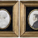
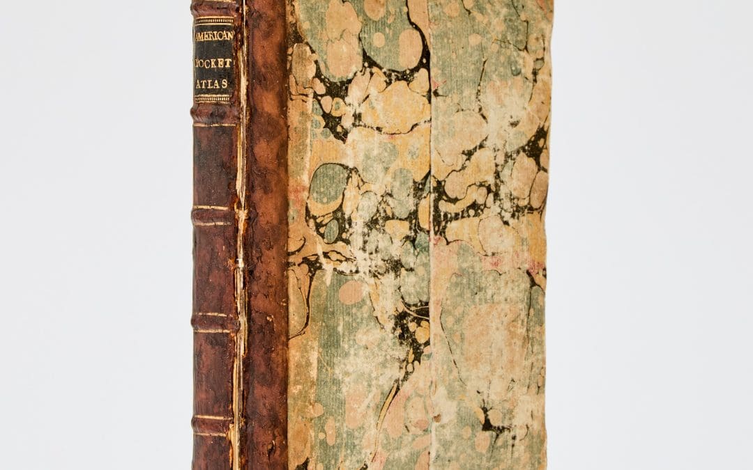
 THE AMERICAN MILITARY POCKET ATLAS; BEING AN APPROVED COLLECTION OF CORRECT MAPS, BOTH GENERAL AND PARTICULAR, OF THE BRITISH COLONIES; ESPECIALLY THOSE WHICH NOW ARE; OR PROBABLY MAY BE THE THEATRE OF WAR: TAKEN PRINCIPALLY FROM THE ACTUAL SURVEYS AND JUSDICIOUS...
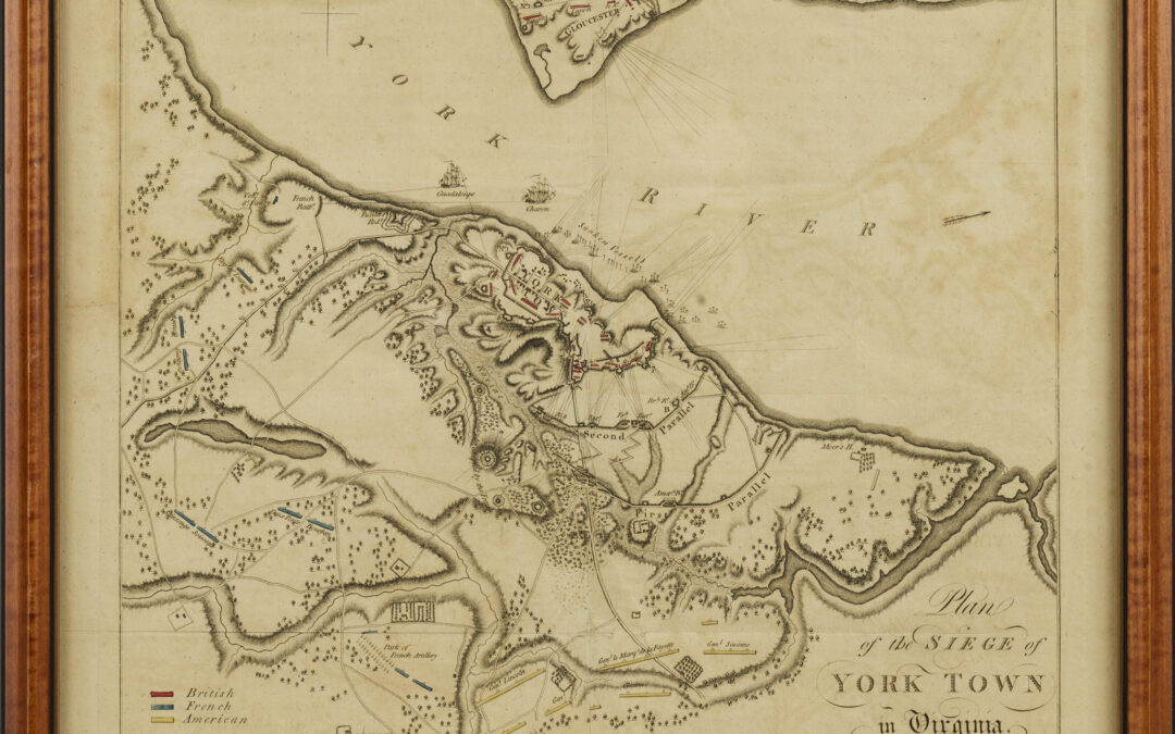 Map of the English, American and French Positions at Yorktown Engraving London 1787 Original hand colored indexing 13.5″ x 14.5″ overall The British printed maps of the siege at Yorktown were taken from two prototype maps, both based on surveys by a...
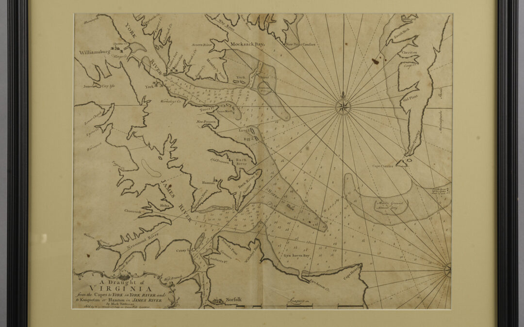 A Draught of Virginia from the Capes to York……… Engraved Map Published by Mount and Page, English Pilot, first issued in 1729 London Various dates – C. 1752 State Two – corrected spelling of “Horse Shooe to Horse Shoe” Mark...
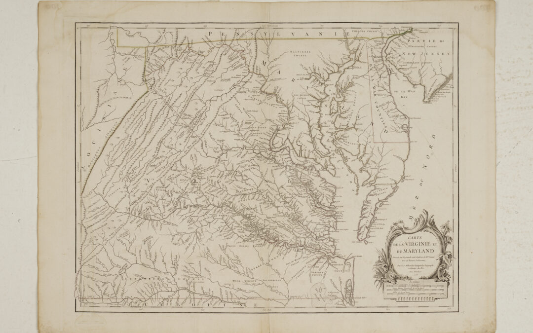 Map of Virginia and Maryland Engraving with hand colored outline Published by Gilles Robert de Vaugondy Paris, 1755 22” x 30” The most important map of Virginia since the Smith map of 1612, Joshua Fry and Peter Jefferson’s survey and map was the most accurate...
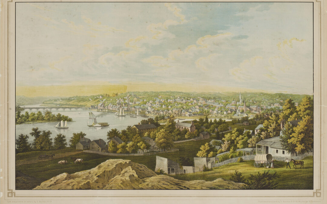 View of Georgetown D C Chromolithograph Edward Sachse & Co. Baltimore C. 1850-1855 19.5″ x 27.5″ Taken from the hill top site of the old Naval Observatory, this view of the Potomac River and Georgetown is the finest delineation of the bustling Potomac...
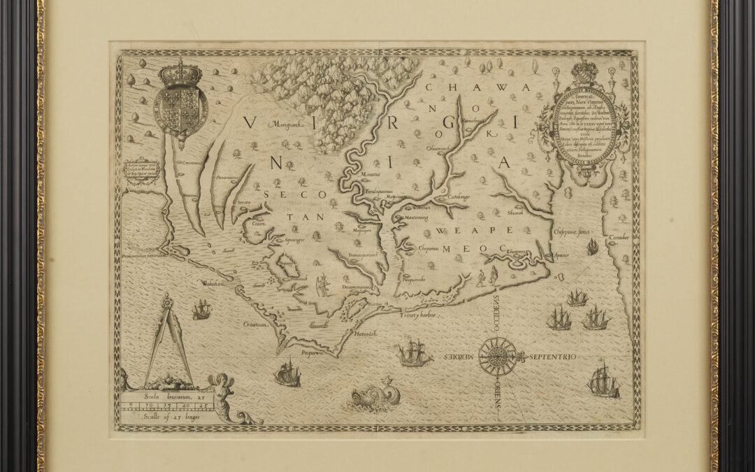 John White’s Map of Virginia, North Carolina and the Chesapeake Bay Americae pars, nunc Virginia dicta WHITE, John (fl. 1585-1593) Engraving Theodore de Bry Frankfurt: 1590. State Two The artist John White accompanied Raleigh’s colonizing expedition to the North...