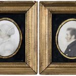
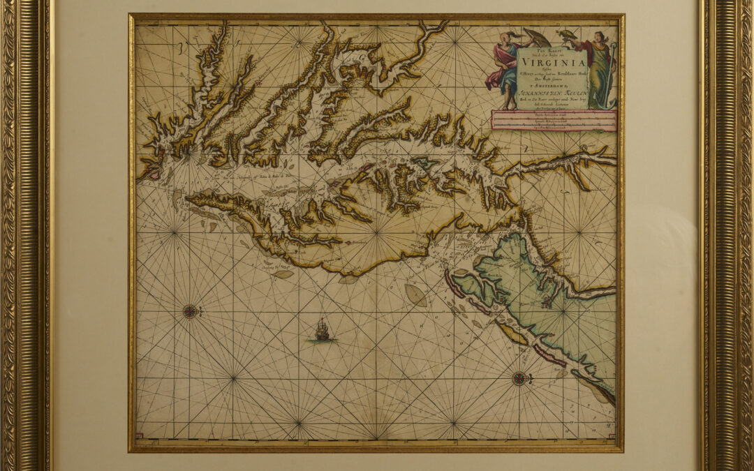
 Pas kaart van de zee kusten van Virginia : tusschen C. Henry en t hooge land van Renselaars Hoek… Engraved map Johannes Van Keulen (1654 – 1715) Amsterdam Circa 1690 Johannes Van Keulen (1654 – 1715) was a Dutch cartographer in Amsterdam during the late 17th...
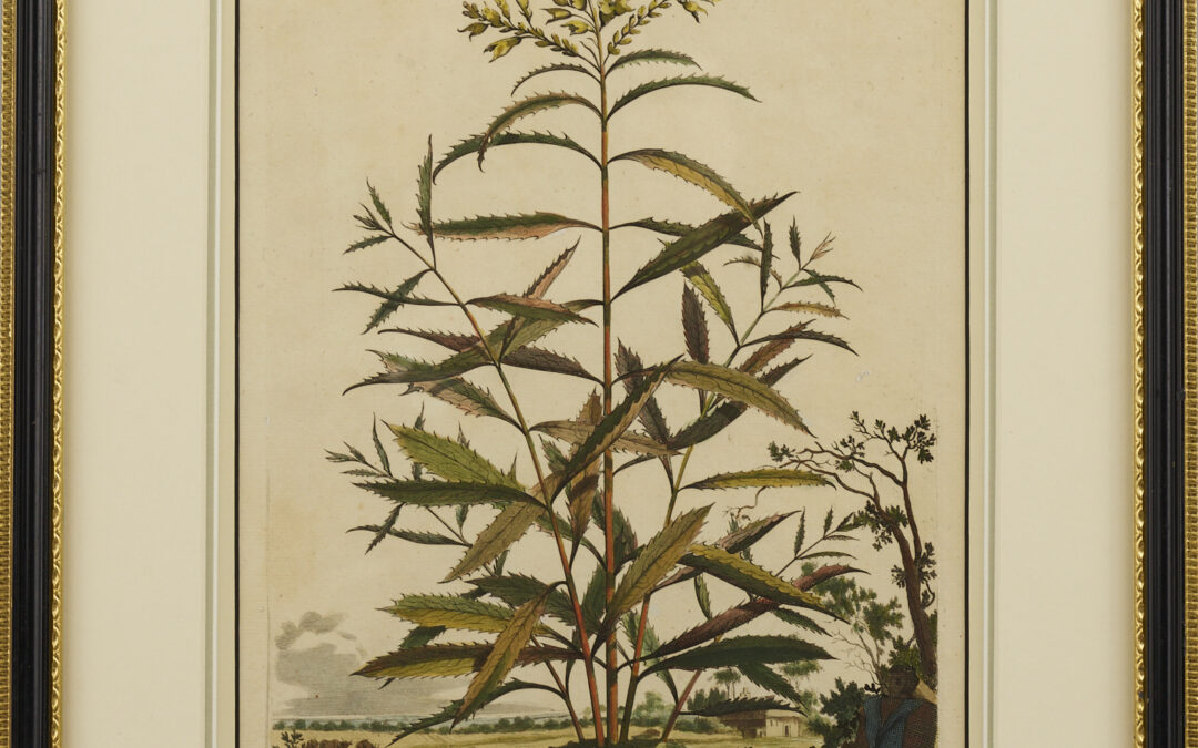 Digitalis Virginiana original, hand colored, copper engraving Abraham Munting Published in his ‘Accurate Description of Terrestrial Plants’ Abraham Munting (1626-1683) was a Dutch botanist and botanical artist. He was a professor of botany and chemistry at the...
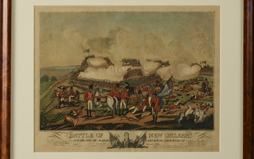 SOLD Battle of New Orleans Aquatint, Etching & Line Engraving Hand Color Laid Paper After William Edward West J. Yeager, Philadelphia, Publisher Second State 1817 This bold, hand colored engraving of The Battle of New Orleans which took place on January 8, 1815,...
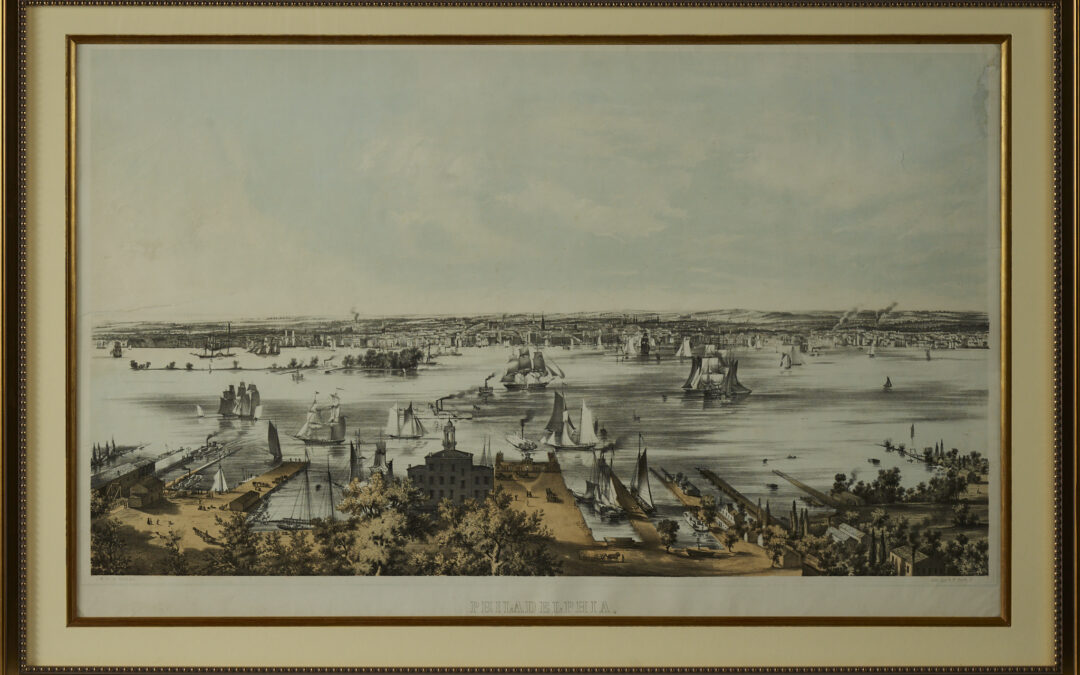 Panoramic View of Philadelphia from Camden Lithograph Paper Drawn by John William Hill & Benjamin Franklin Smith Published by Smith Brothers Philadelphia C. 1850 25.5” x 40” The Smith Brothers produced a remarkably fine series of large folio city views between...
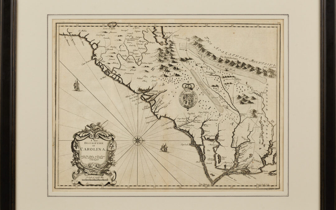 A New Description of Carolina Engraving John Speed, Published by Basset and Chiswell London, 1676 From Speed’s Atlas, Theater of Empire, this map was based on the Moxon/Ogilby “Lord Proprietors’ Map” of Carolina of 1672. It was published...
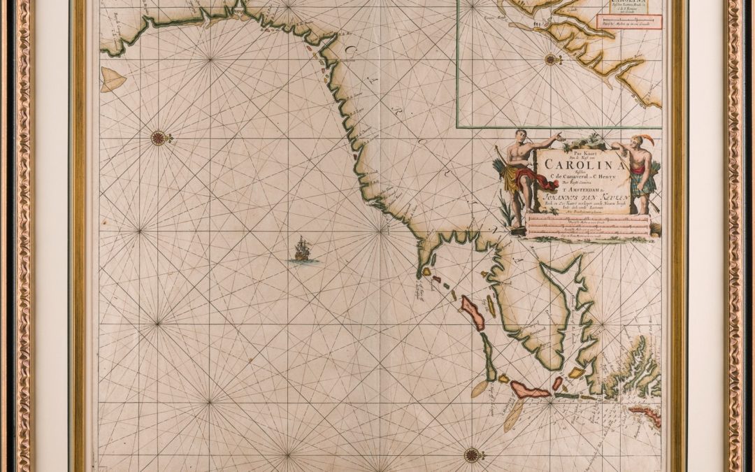 A MAP OF CAROLINA from CAPE CANAVERAL to CAPE HENRY Johannes van Keulen (1654-1715) Amsterdam, circa 1682 Copper engraved, period hand coloring 27.5” x 31” overall Van Keulen’s attractive map of Carolina is essentially a hydrographic chart providing coastal names and...